 Image 1 of 5

 Image 2 of 5

 Image 3 of 5

 Image 4 of 5

 Image 5 of 5


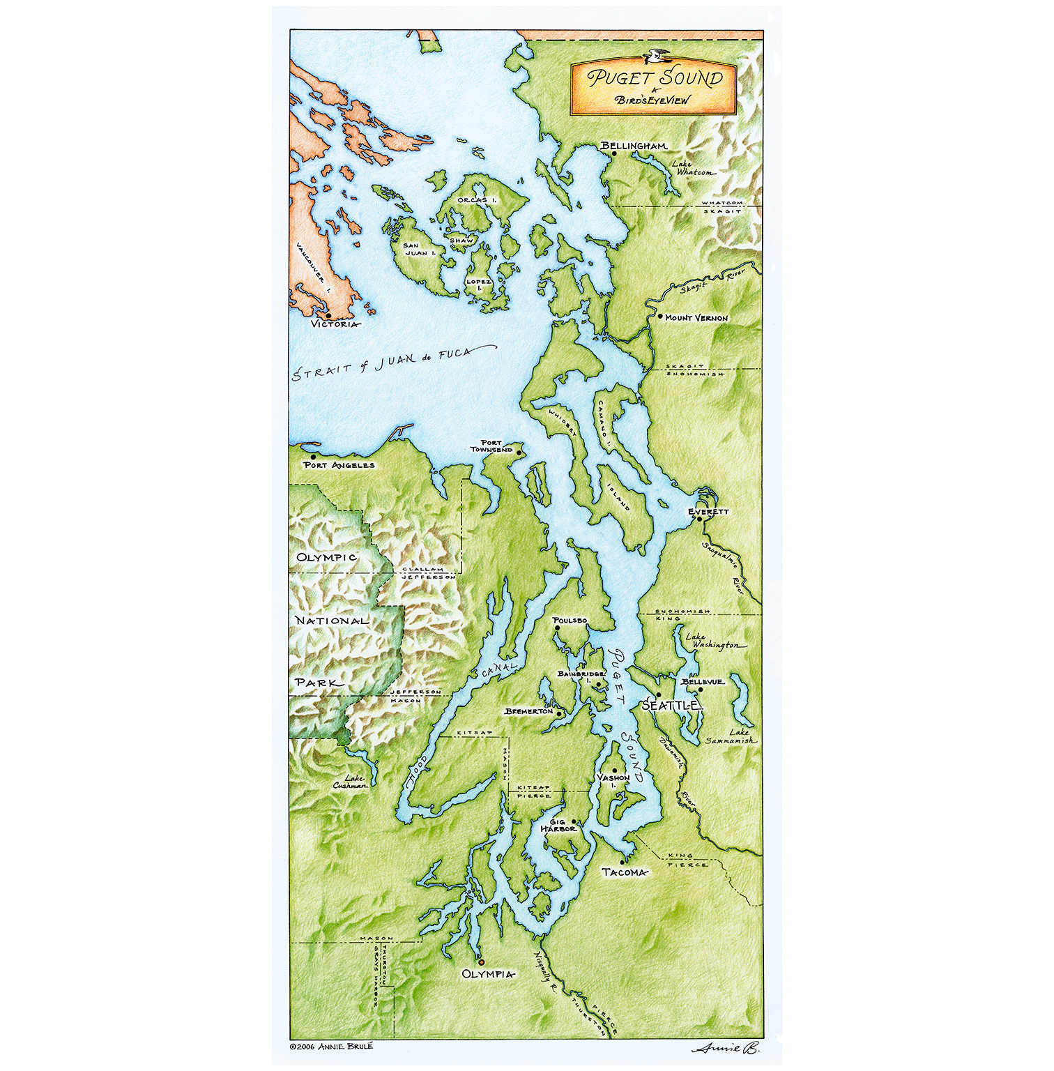
Puget Sound map "a Birdseye View"
Lovingly detailed, full-color map of Puget Sound (southern Salish Sea), drawn by hand in my studio on Vashon Island. I was born and raised on the beautiful waters of the Salish Sea, and wanted to create something beautiful while learning about my home waters through drawing every inlet and coastline. I hope you enjoy!
This 12 x 24 inch map is printed with plant-based inks on heavy-weight, archival paper, with UV-coating to keep the rich colors safe from fading. Matte finish for a soft and smooth look and feel. Fits standard poster frame size. Ships rolled in crush-proof tube. Each print signed by the artist.


